
Mahdfeldalm circuit hike
easy Family hikes · Naturpark Sölktäler
Tour characteristics
Stamina
Technique
Tour-Infos
Distance: 5.6 km
Duration: 02:30 h
Ascent: 360 m
Descent: 360 m
Best time of year
january
february
march
april
may
june
july
august
september
october
november
december
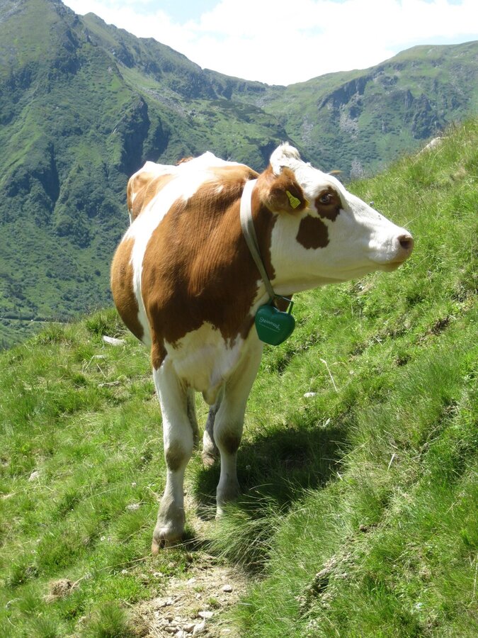
Gallery


More information
Turn-by-turn directions
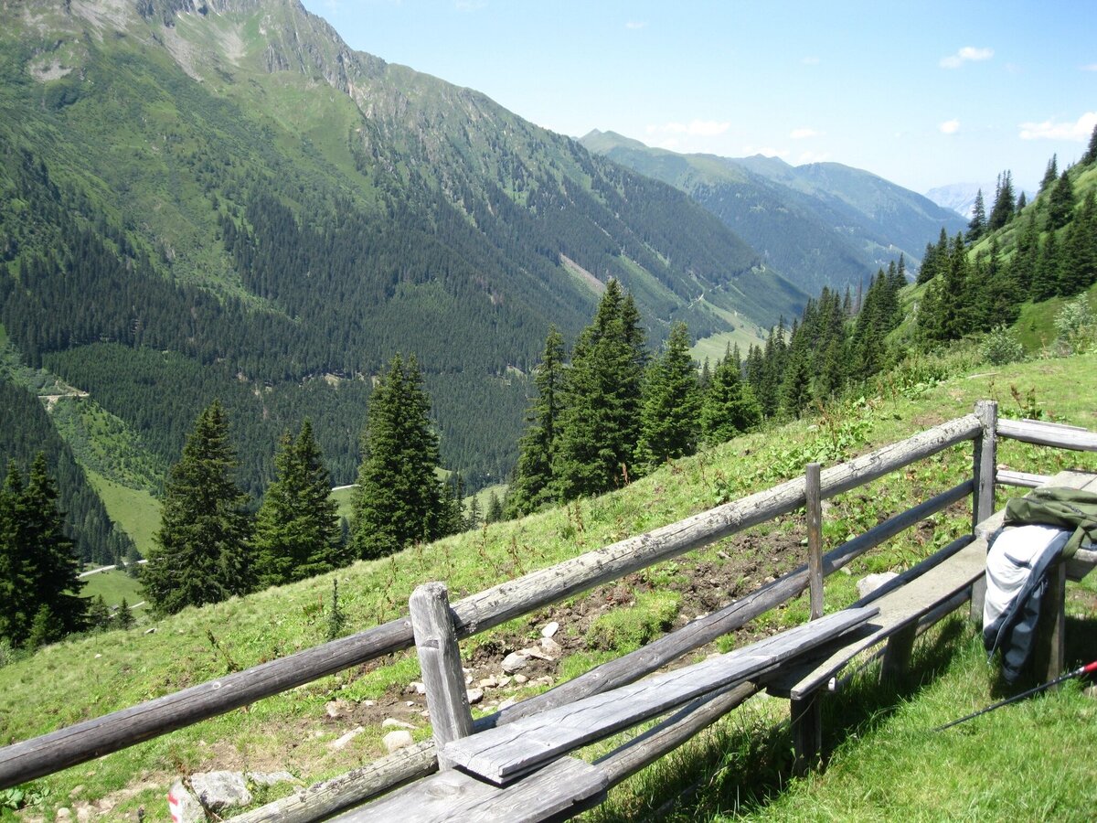
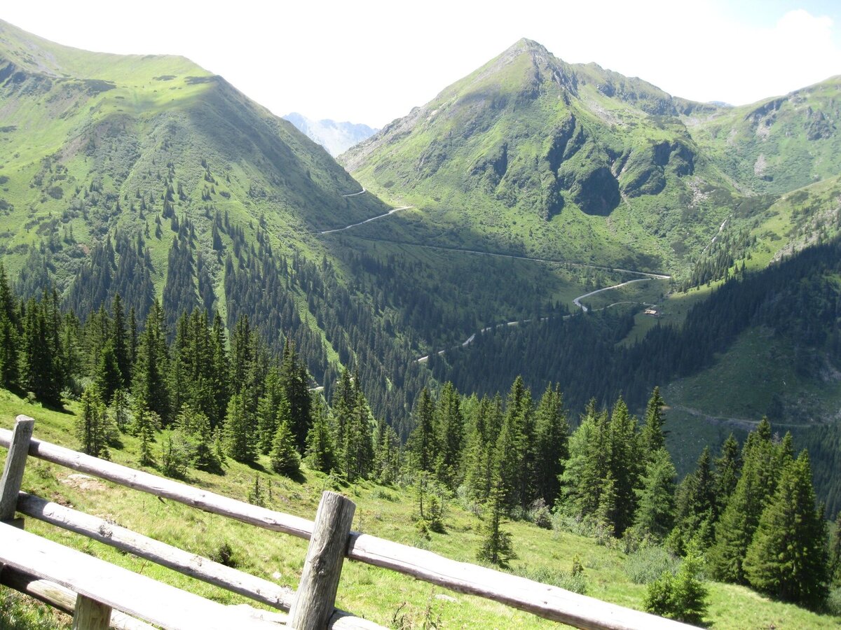
From the parking lot on the Sölkpaßstrasse near Kaltenbachalm you hike down to the Winkleralmkehre. Here you follow the alp road to the right above the Erzherzog-Johann-Hütte and walk in an arc through the cirque. You cross several ditches all the way to the Mahdfeldalm.
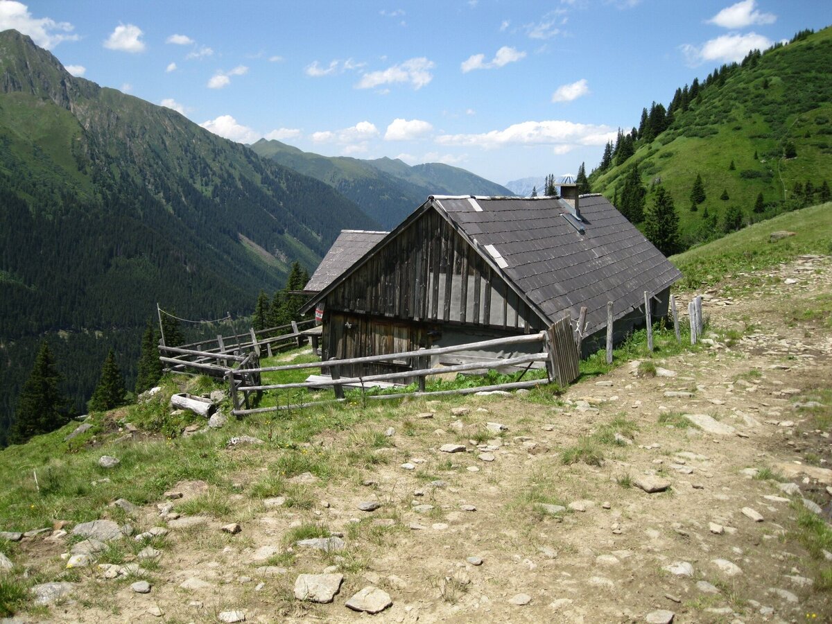
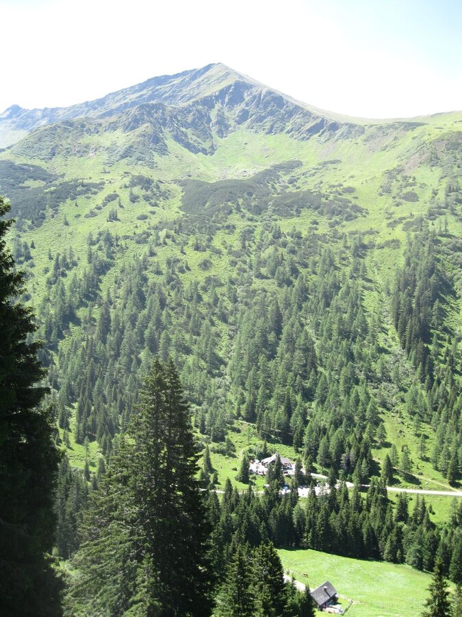
Once there, you can enjoy the magnificent view of Deneck and the Großsölktal. You then climb a little steeper down through the forest to the Winkleralm, which also invites you to stop off.
Once there, you can enjoy the magnificent view of Deneck and the Großsölktal. You then climb a little steeper down through the forest to the Winkleralm, which also invites you to stop off.
Getting there
Turn off the Ennstalstraße B320 at Pruggern (west) or Espang (east) in the direction of the Sölktäler Nature Park. In Stein a.d. Enns turn off towards Sölkpass. After approx. 23 km you come to the parking lot next to the Sölkpass road.
Arrival at Stein/Enns train station with ÖBB.
Cab Stefan Mayer: +43 676 54 09 858
Valley bus from July 5 to September 7, 2025 - this makes crossings in the Sölktäler Nature Park possible. You can also travel comfortably by train and the valley bus will take you to the starting point of your hike. Click here for the timetable.
Cab Stefan Mayer: +43 676 54 09 858
Valley bus from July 5 to September 7, 2025 - this makes crossings in the Sölktäler Nature Park possible. You can also travel comfortably by train and the valley bus will take you to the starting point of your hike. Click here for the timetable.
Parking
Parking Kaltenbachkehre - Sölkpass
Start
Parking Sölkpassstraße - Kaltenbachalm
Destination
Parking Sölkpassstraße - Kaltenbachalm
Equipment
Weather changes, rapid drop in temperature, thunderstorms, wind, fog and snow fields are objective dangers and require the right behavior on the way. Hut keepers are experienced mountain connoisseurs, they can give good tips on the weather and the course of the trail. Lack of equipment, overestimation of one's own abilities, carelessness, poor physical condition and a wrong assessment can lead to critical situations. During thunderstorms: avoid peaks, ridges and rope belays at all costs.
GPS data and orientation aids: Available GPS data - as well as hiking maps - are only an orientation aid, since they can never represent an exact image or the richness of detail of a path in reality. Especially in the case of danger spots, it must therefore always be decided in the end on the basis of the conditions on site whether and how the further course of the path looks like.
In case of emergency, please dial the following emergency numbers:
No. 140 - for alpine emergencies - Austria-wide
No. 112 - Euro emergency call GSM emergency call service
Take rainproof and warm clothes and enough water, possibly also a snack, wear shoes with non-slip profile soles. A first aid kit should also be in your backpack.
Author’s recommendation
Refreshment possibility at the Winkleralm.
SummitLynx- Your digital summit and hut book - available worldwide and always with you!
SummitLynx- Your digital summit and hut book - available worldwide and always with you!
Tips, hints and links
Mountain guides from the region: www.schladming-dachstein.at/mountainguides
For more information, please contact the Schladming Dachstein Tourist Office - Sölktäler Nature Park Information Center:
Phone: +43 3687 23310 501
mailto:info@schladming-dachstein.at
Stein an der Enns 107
8961 Sölk
The brochure “Schladming-Dachstein Hiking” is available in all information offices in the region.
Weather forecast
Date
Early clouds will gradually clear to leave the region with a dry and sunny day.
Dry and partly sunny throughout the day, with cloudy periods from time to time.
Starting fair, then increasing cloudiness and possibly showers towards evening.


