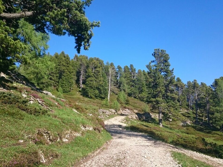
Stoderalm Circular Route with Gröbming View
easy Family hikes · Gröbminger Land
Beautiful, easy hike in the alpine pasture area of the Stoderalm north-west of the Stoderzinken. The viewing bench "Gröbminger Blick" (i.e. Gröbming View) offers a beautiful valley view of the Gröbminger basin with the Gröbming market.
You hike past the Rosemi Alm in a few minutes to the connection to the AV path #675. It now goes uphill to the wayside cross in front of the Stoderhütte. There you walk directly in front of the Stoderhütte to the right down the forest path until you reach the crossroads with the sign "Gröbminger Blick". The short detour to the "Liebesbankerl Gröbminger Blick" is rewarded with a wonderful view down to Gröbming. Then you hike back to the forest path and over the Stoderalmboden to the Brünner Hütte (not serviced) and from there slightly uphill back to the Stoderhütte and the Steinerhaus and your starting point.
Exit the B320 Ennstalbundesstraße in Gröbming. Follow the signs towards the Stoderzinken Alpenstrasse. From the Adventure Park/Gröbminger Alm, the Stoderzinkenstraße is a toll road.
From July 8th to September 10th, 2023 it is possible to drive up with the Stoderzinken bus shuttle.
More information: Stoder bus shuttle | Information from A-Z | Schladming-Dachstein
Car parking of Stoderzinken toll road:
- Car park at trail head Rosemi Alm
- Car park at trail head Christophorus
Changes in weather patterns, quick falls in temperature, thunderstorms, wind, fog and snow are some of the dangers that can be encountered on a hiking tour. Hosts of alpine huts and mountain refuges have a lot of experience in the mountains and can give good advice about weather and the trails. Poor equipment, overestimation of one's own capabilities, carelessness, poor personal constitution and/or wrong judgement can lead to critical situations. In case of thunderstorms: avoid summits, ridges and steel ropes.
GPS data and orienteering
Available GPS data - just like hiking maps - is only a guidance for orientation and can never depict a trail exactly with all its details. Especially at dangerous spots it is essential to judge on site how to proceed.
In an emergency please call:
- 140 - for Alpine emergencies (all over Austria)
- 112 - European GSM emergency number
A well-packed backpack is helpful and especially when touring Alpine terrain a tuque, gloves, a windproof jacket and pants are standard equipment. Good, waterproof shoes, sun glasses, sun cream and sufficient beverages are essential too. Torch light, a map of the area, knie and a small first-aid kit should also be in the backpack.
The tour to the Gröbming View can be easily combined with the Stoderzinken summit circular route.
Schladming-Dachstein summer leisure card "Mitte", available in the information offices of the Schladming-Dachstein region


