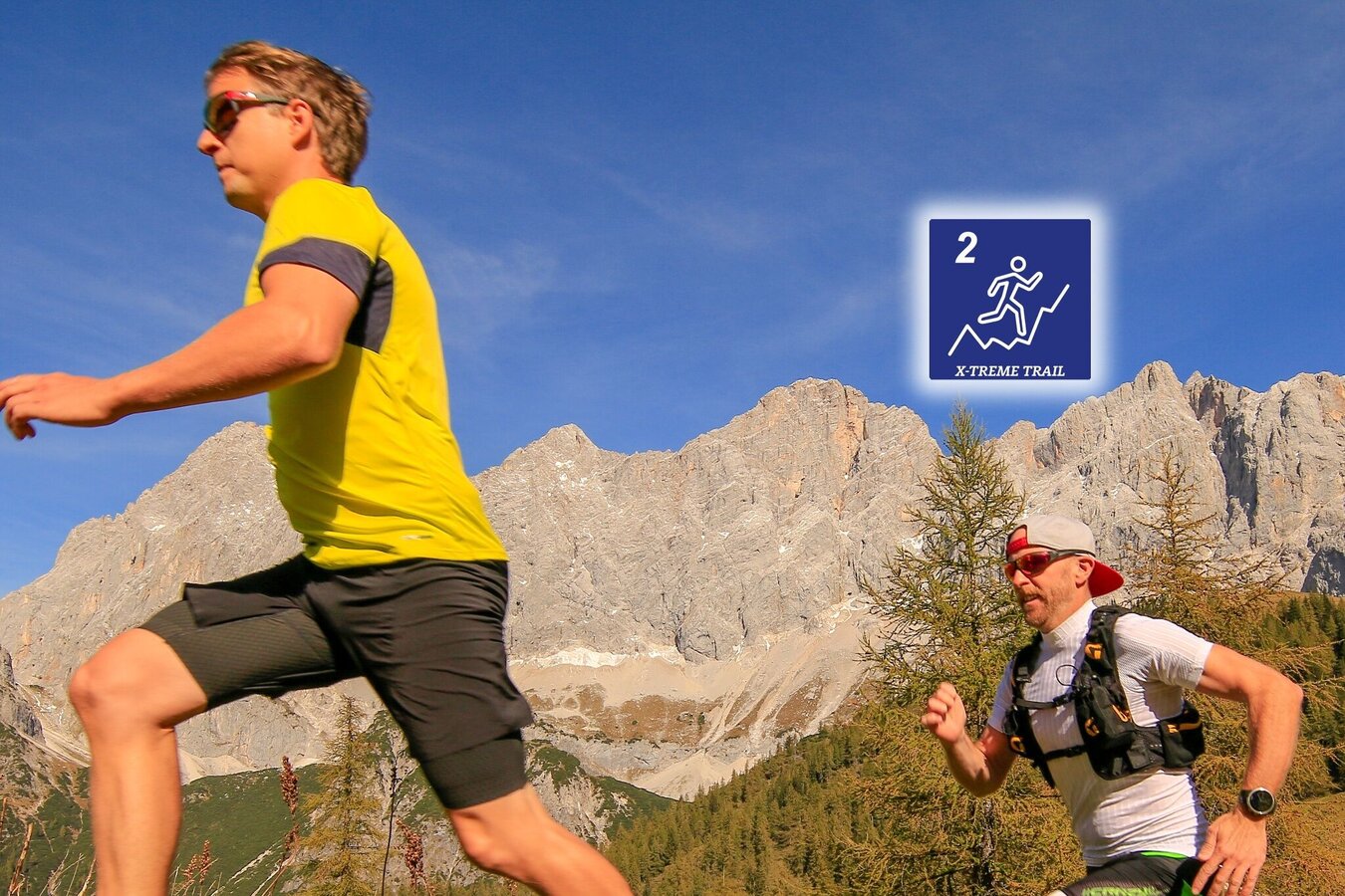
Torlauf (no. 2)
difficult Trailrunning · Ramsau am Dachstein
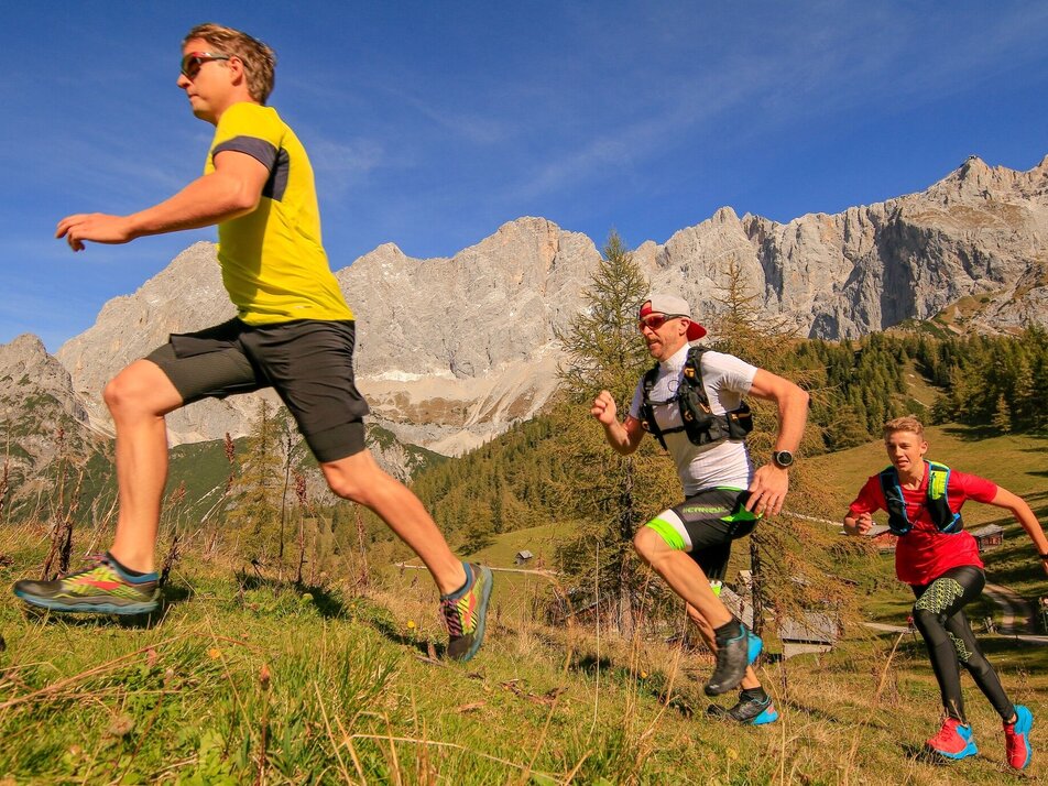
The beautiful surroundings of the Dachstein massif and the Dachstein on its own make this an unforgettable experience for every runner. Face your limits!
There is a reason why leading professional athletes, as well as world and Olympic champions, take on the challenges of the Dachstein massif on a yearly basis.
A yearly competition is held here so that athletes can challenge themselves and compete against each other.
Dates and further information can be found on www.torlauf-dachstein.info
Gallery


From the west:Tauernautobahn A 10 to the Ennstal junction - exit in the direction of Graz/Schladming - around 20 km on the Ennstal federal highway to Schladming - Ramsau junction
From the north:Pyhrnautobahn in the direction of Liezen Ennstalbundesstraße to Schladming - Ramsau junction
Ramsauer Verkehrsbetriebe timetable www.rvb.at
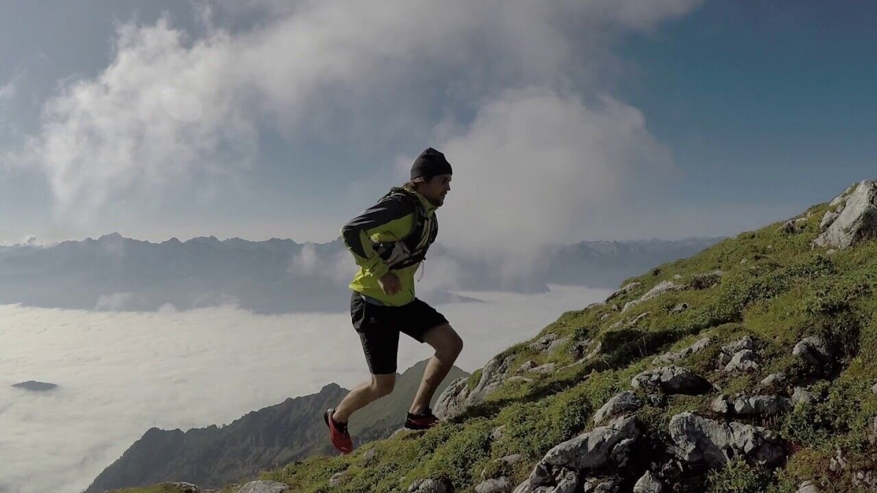
This is a high-alpine trail.
Be careful - there is a risk of injury! Please use trail running shoes or light hiking shoes.
- lange Hose und Shirt
- Regenjacke und Regenhose (Wassersäule min. 10.000 ml)
- Haube
- Handschuhe
- Trail- oder Laufschuhe mit guter Sohle
- Trinkrucksack oder Trinkflasche und Müsliriegel oder Energiegel (min. 1 Liter Trinkflüssigkeit)
- Orientierungskarte oder Lauffolder
- Puls Uhr
- Kleines Notfall Kit
- Überlebensdecke
- Ausweis
- Stirnlampe
- Handy für Notruf (mit QR-Code Erkennung damit Sie auch auf der Strecke an den Schildern den Code abscannen können
Einige Regeln damit es besser läuft:
- Legen Sie den Alltagsstress ab und genießen Siedie Bewegung in frischer Luft und herrlicher Natur
- Mit Maß zum Ziel! Training richtet sich nach Leistungsstärke, Alter und Laufdistanz, Kilometerlangsam steigern!
- Achten Sie auf die richtige Lauftechnik und denidealen Atemrhythmus!
- Laufen darf Spaß machen! Monotonie ist der Anfang vom Ende. Daher ständig variieren -Strecke, Umfang, Intensität.
- Leichtes Dehnen vor dem Training, aber vorallem nach dem Laufen, macht die Muskulaturgeschmeidiger und weniger anfällig für Verletzungen.
- Cool Down - locker Auslaufen. Auf Belastung muss immer eine Erholung folgen. Je anstrengender, desto länger.
- Ernährungstipp: etwa 2 Stunden vor dem Laufenkeine feste Nahrung, jedoch viel Flüssigkeit (frisches Quellwasser) vor und während des Laufens. Nach dem Laufen Kohlenhydratspeicherauffüllen mit Nudeln, Kartoffeln, Getreide, Reis, ...
- Die Bekleidung sollte den Schweiß nach außenableiten und atmungsaktiv sein. Der richtige Laufschuh hat neben der optimalen Passform (vorne noch eine Fingerbreite Platz) für Dämpfung, Stabilisierung und richtiges Abrollverhalten zu sorgen und muss atmungsaktiv sein.
Bitte berücksichtigt die lokalen Hinweise zum Schutzder Natur.
Kompass / Der Dachstein
Freitag und Bernt /
AV Karte / Dachstein


